Who Grits the Cyclepath? An Honest Winter Audit of Tyneside's Shared Routes
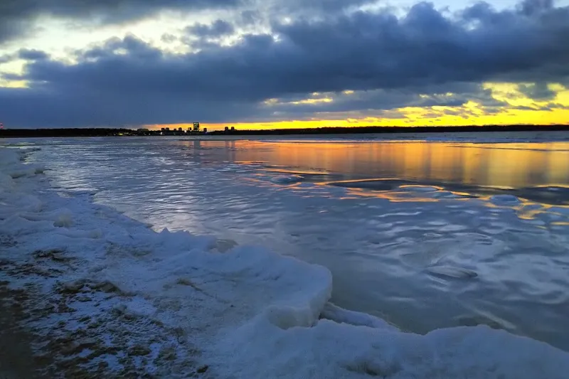
Photo: Vicky Brock from Tallinn, UK, CC BY-SA 2.0, via Wikimedia Commons
The first hard frost of the 2026–27 winter landed on Tyneside in the second week of November, and with it the annual argument. The roads were white with salt by half six. The shared path a few metres to the left of them was white with ice. If you ride, walk or run the riverside between Byker and Newburn, you already know the size of the gap between those two sentences.
So we spent a week asking a deeply boring question. Who is actually responsible for gritting and clearing the routes cyclists use in winter — and when it doesn't happen, who do you tell?
Nobody owns "the cycleway"
There is no single cycleway department. Tyneside's shared paths are stitched together from old railway lines, riverside wharves, park paths, highway verges and parcels of land that changed hands decades ago. Responsibility follows landownership, and landownership can change four times in a mile.
A rough division of labour, as of the 2026–27 season:
- Roadside cycle lanes, toucan crossings and anything bolted onto the carriageway: the local highway authority — Newcastle, Gateshead, North Tyneside or South Tyneside.
- Old railway paths and the waggonways: usually the council's greenspace or countryside team rather than highways, sometimes shared with partners and volunteer groups.
- Riverside stretches: a tangle of council land, Environment Agency banks and private or regeneration sites.
- National Cycle Network sections: Sustrans manages and campaigns for routes, but it does not run a fleet of gritters.
- Metro-adjacent paths and station approaches: Nexus, on its own land.
- Trunk roads and their slip roads: National Highways.
That matters because winter budgets are set for roads first. Every authority in the region publishes a winter service plan each autumn, and each one says roughly the same sensible thing: precautionary gritting on a defined network of primary and secondary routes, then footways and shared paths from a priority list, as resources allow. Nobody is being villainous. They are following a spreadsheet, and the only real question is whether your path is on it.
Council by council: the 2026–27 picture
Newcastle
The city's winter plan treats the main road network first, with footway gritting concentrated on the city centre and key shopping streets. Shared riverside routes get attention in places — the Quayside and the spine through the Ouseburn Valley are the obvious ones — but the linking ramps and climbs away from the river are where the plan goes quiet. The ramp from the riverside up towards the Swing Bridge and the shaded cut behind the arena are exactly the sort of short, steep, north-facing link that never quite belongs to anybody's route map.
Gateshead
Gateshead has the biggest share of the riverside and a genuinely mixed bag of statuses: promenade, bridleway, former rail line, park path. The Derwent Walk is a bridleway, not a cycle track, and its tree cover means frost sits in the shade long after the roads have cleared. Down by the Staiths and along towards Bill Quay, treatment tends to follow the main access points rather than the full length of the path.
North Tyneside
The borough's waggonways — old mineral lines converted into traffic-free routes — are a huge asset and a maintenance headache, because they are linear, tree-lined and often a mile from the nearest depot. Expect branches down after a gale, leaf mulch after a wet week, and gritting concentrated where the routes meet roads.
South Tyneside
The Leas, the riverside path towards Hebburn and the approaches to the ferry are the routes riders ask about most. Coastal exposure helps, because wind dries a path fast, but the sheltered sections between walls and fences stay icy well into the morning.
Plans change. Check your council's current published winter service page before quoting any of this down the pub.
Three traps that will still get you
We rode a frost-morning loop to see which spots were still lethal at nine o'clock. The winners, if that's the word:
- The shaded ramp and underpass approaches near the arena and the Central Motorway. No sun, no salt, ice until lunchtime.
- The tree-covered Ouseburn path. Wet leaves plus frost is a lino floor.
- Anywhere meltwater crosses a path and refreezes — the Coast Road underpass approaches, the dip at Bill Quay, the slopes off the Keelman's Way at Newburn.
Studded tyres will get you through most of it, but the honest advice for a commuter is duller: drop your pressures a touch, brake earlier than instinct says, and be willing to take the road where the path is a rink. Visibility matters more than pride — lights on, and something bright on the bits that catch a driver's eye.
How to report it without just grumbling into the headwind
Here is the part that actually changes things.
- Use FixMyStreet or your council's own "report it" form. Choose the category that mentions gritting, footways or cycle paths; if there isn't one, use "damaged or obstructed path" and describe it properly.
- Give a pin, a direction and a time. "Icy path, north side, between the second and third lamppost, 07:40, refreezing every morning" gets action. "Path is a disgrace" doesn't.
- Report the same spot twice if it recurs. Patterns get a route added to a list; one-offs get sympathy.
- For National Cycle Network sections, Sustrans has a reporting route that feeds back to the relevant landowner.
- For station approaches, that's Nexus. For trunk road verges and underpasses, National Highways.
- Ask for infrastructure, not just a visit. A stocked grit bin at the bottom of a slope does more good across a whole winter than one truck.
- If it keeps happening, your ward councillor is the cheapest lever you have. Councillors chase officers; officers chase spreadsheets.
What to do this week
Find your council's winter plan and check whether your commute is on it — most authorities publish route maps alongside the plan. If it isn't, that's your letter. If it is and nothing is happening, that's a report with a photograph attached.
Then do the small things that keep the group rolling: a winter hack bike with mudguards and cheap studs, a WhatsApp thread that flags the icy bits before seven, and a bit of patience at the pinch points where nobody can pass.
Winter maintenance is unglamorous. It's a map, a truck and a list of paths. All we're asking is that the paths we actually use make it onto the list.


